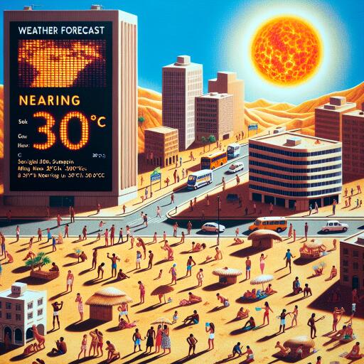
Hottest day of the year predicted by Met Office as temperatures near 30C
As the United Kingdom basks in an unexpected warmth, meteorological predictions hint at the potential for the warmest day of the year to date. Recent observations have indicated a remarkable upsurge in temperatures, with certain regions in England experiencing a significant heat wave that pushed thermometers to a balmy 26C over the past weekend.
The Met Office forecasts suggest a continuation of this warm, sunny, and dry weather pattern across England and Wales, punctuated only by occasional, brief showers. The southeast of England is particularly poised for warmth, with anticipated temperatures reaching up to 26C on Saturday. This surge would eclipse the previous high for the year of 23.4C recorded in Santon Downham, Suffolk, and places the country’s weather well above typical seasonal averages.
London, not to be outdone, is expected to revel in consistent daily highs ranging from 23C to 24C for the remainder of the week. Meanwhile, the western regions of England alongside Wales can expect slightly cooler conditions, with temperatures hovering around the 20C mark.
The forecast assures most of the UK can expect sunny skies and dry weather coming Thursday and Friday. Although scattered showers are likely to grace the northern territories with heavier rainfall predicted for northern Scotland, this is anticipated to dissipate by Thursday.
Improvements in weather conditions are also on the radar for Scotland and Northern Ireland. Glasgow, for instance, is projected to enjoy temperatures reaching up to 22C on Saturday, while other areas will experience the high teens.
Amy Bokota, a senior operational meteorologist, emphasized the remarkable nature of this warm spell. “The warmth we’re experiencing is quite exceptional. Looking forward through the week, a gradual increase in temperature day by day is expected,” she remarked. With the early May average daytime temperature sitting at around 16C for the UK, the current weather is significantly outperforming historical averages.
However, this warm air mass is forecasted to be a fleeting visitor. The Met Office anticipates a shift towards more unsettled weather next week as temperatures dial back and an Atlantic low-pressure system introduces scattered showers and potential thunderstorms as early as Sunday afternoon. “Temperatures will likely retreat to the high teens, and in some places, the low twenties, marking a noticeable cool down,” added Bokota.
As the UK enjoys this sunny getaway, the Met Office also issued a reminder about the accompanying “moderate to high” UV levels. These elevated UV levels could lead to sunburn, even under cloudy conditions, hence the advisory for the public to employ sun protection strategies. These include the use of sunscreen, donning suitable clothing, and protecting the eyes with sunglasses.


Leave a Reply