Revolutionary Maps Shed Light on Qinghai-Xizang Plateau’s Ecosystem and Biodiversity
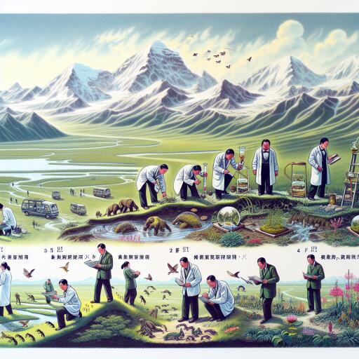
In an ambitious effort to understand the complex web of life on the Qinghai-Xizang Plateau, Chinese scientists have made remarkable strides by developing an innovative classification system. This approach, which synergizes remote sensing technology with comprehensive ground surveys, has significantly advanced our comprehension of the ecosystem’s flux and the plateau’s rich biodiversity.
Delving into the heart of this groundbreaking work, the team has produced a series of maps with an impressive resolution of 1:500,000. These include detailed visualizations of the plateau’s grasslands, its varied soil types, and an expansive alpine tree line that stretches over 2,400 km along the Himalayas. The creation of these maps marks a pivotal step forward in ecological science, offering unprecedented insights into the spatial and temporal patterns that define the plateau’s ecosystem.
Ouyang Zhiyun, a leading researcher at the Research Center for Eco-Environmental Sciences within the Chinese Academy of Sciences, highlighted the significance of these maps. He noted, “These maps not only unveil the dynamic changes within the ecosystem but also enhance our ability to evaluate the quality of ecosystem services.” The detailed analysis facilitated by this new set of tools is essential for crafting effective strategies for biodiversity conservation and for the thoughtful planning of national parks throughout the Qinghai-Xizang Plateau.
The extensive fieldwork conducted by the research team has shed light on the delicate balance and the sometimes hidden diversity of life in some of the plateau’s most vulnerable and critical sectors. This exhaustive exploration has led to the identification of over 3,000 previously unknown species inhabiting the region. Among these new findings are 205 animal species, 388 plant species, and a staggering 2,593 microbial species, each adding to the intricate mosaic of life that characterizes the plateau.
In response to the essential findings from the scientific expedition, the local government of Xizang Autonomous Region has taken significant measures to protect its natural heritage. Over 600,000 square kilometers of land, representing more than half of the region’s total area, have been designated as ecological conservation redlines. This initiative demonstrates a profound commitment to preserving the unique environmental values and functions that the region holds.
Moreover, Xizang boasts 47 nature reserves of various scales and conservational focuses, encompassing an area of 412,200 square kilometers. The expansion of ecologically functional territories, which include forests, grasslands, wetlands, and aquatic ecosystems, now spans to an impressive 1.08 million square kilometers. This growth underscores a broader effort to safeguard the biodiversity and ecological integrity of the Qinghai-Xizang Plateau.
The efforts of Chinese scientists to map and study the Qinghai-Xizang Plateau’s diverse ecosystems represent a significant leap forward in ecological and biodiversity research. Through their meticulous work, they have laid a foundation for future conservation efforts and enhanced our understanding of this vital region’s role in the global ecological landscape.


Leave a Reply