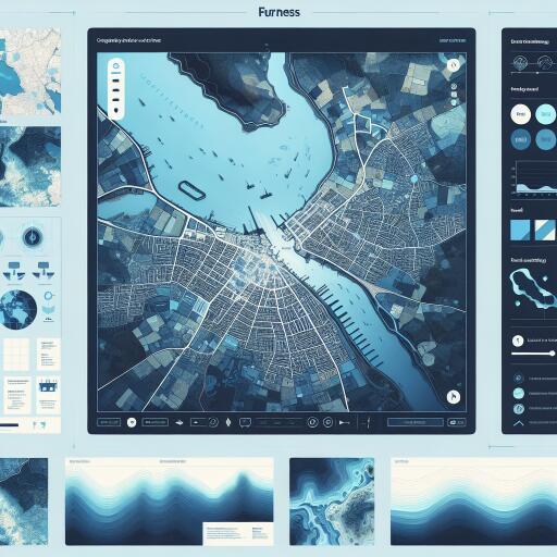
Interactive Map Reveals Future Flood Risks in Furness by 2030
In a groundbreaking initiative, scientists and journalists at Climate Central have developed an interactive map highlighting the regions of Furness that could find themselves underwater by 2030 due to rising sea levels. This revolutionary tool is grounded in the latest projections and peer-reviewed research from esteemed scientific publications, offering a stark visual representation of climate change’s impact on local geography.
Significant sections of the Furness coastline are at risk, with notable areas such as Walney Island, Askam, Barrow, Broughton, Kirkby, and Foxfield facing potential inundation. The projections also indicate serious flooding risks for Roosebeck, Rampside, and Roa Island. Moving closer to Ulverston, Outcast, Bardsea, and Next Ness are also predicted to fall below the annual flood level within the next decade.
Local Response to Climate Threat
In response to these alarming findings, local councils have initiated several measures aimed at curbing coastal erosion and mitigating flood risks, particularly in areas like Walney that are especially vulnerable. Early this year, the council announced a collaboration with the Our Future Coast project team at West Shore Park in Barrow. The objective is to devise a comprehensive plan for managing and adapting to the challenges posed by coastal change, acknowledging the ongoing erosion of the coastline.
The initiative is part of Defra’s £200 million Flood and Coastal Innovation Programmes, with £5 million earmarked for Coastal projects. West Shore Park in Barrow is highlighted as a prime example, having been allocated £200,000 to support its efforts in managing coastal flooding and erosion. This is particularly crucial for fourteen case study locations in the North West, aimed at preparing for future environmental shifts effectively.
A Closer Look at the Climate Central Maps
Despite their innovative approach, Climate Central emphasizes that their maps should be seen as preliminary tools for identifying regions at risk, rather than definitive predictions. The maps do not account for dynamic factors such as erosion, changes in storm patterns, inland flooding, or additional water from rainfall and rivers. This broad overview provides a crucial first step in recognizing areas that warrant further, more detailed risk analysis.
A representative from Climate Central elaborated on the methodology, stating, “Our maps integrate extensive datasets, which, by nature, include margins of error. Therefore, these visual tools should serve as an initial step in recognizing potential areas of concern that may require more in-depth exploration of their susceptibility to future sea-level rises.”
The Road Ahead
As Furness faces the reality of climate-induced changes, the collaborative efforts between local authorities and dedicated projects like Our Future Coast underscore the proactive steps being taken to mitigate risks and safeguard communities. The visual projections provided by Climate Central serve as a sobering reminder of the urgency for continued and expanded efforts to combat coastal erosion and manage flood risks effectively, ensuring the resilience and safety of vulnerable coastal areas in the face of ever-rising sea levels.


Leave a Reply